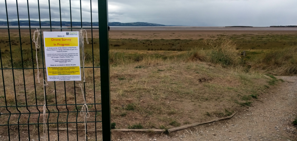

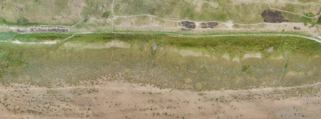
Last week, we surveyed the half million square meters that makes up the Red Rocks Site of Special Scientific Interest (SSSI) between West Kirby and Hoylake on the Wirral.
On site (with special consent to fly from the Wildlife Trust and Natural England), the flights were executed without a hitch. One little (anticipated) rainy spell gave us a momentary break whilst we swapped batteries and logged datum points before continuing the flight missions.
Thanks are due to Cheshire Wildlife Trust and Natural England for their cooperation and foresight with the flight operations for this project.
The objective is to snapshot the site at this moment in time, and to allow those who manage the area to better understand how the wide range of habitats that cover the site change, move and develop over time. We aim to survey the site once a week for the next month.
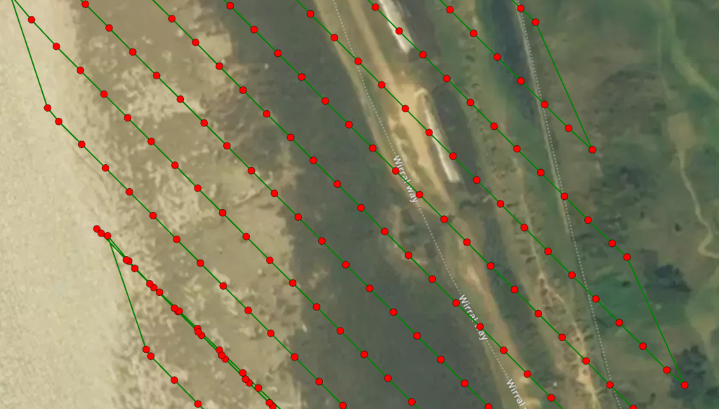
The images below illustrate the image capture locations:
Initial findings based on the 1000+ images taken show the extent to which the burnt areas of ground are recovering, however the whole site is still hugely dry following the hot weather.
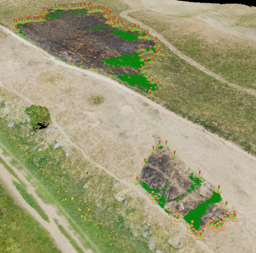
The first of three sites that caught fire, in an unknown order, is the 100m long northernmost section, over the dunes:
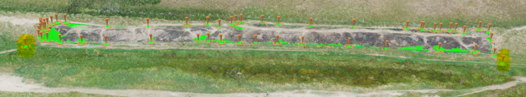
The total area damaged here is 996.82m2
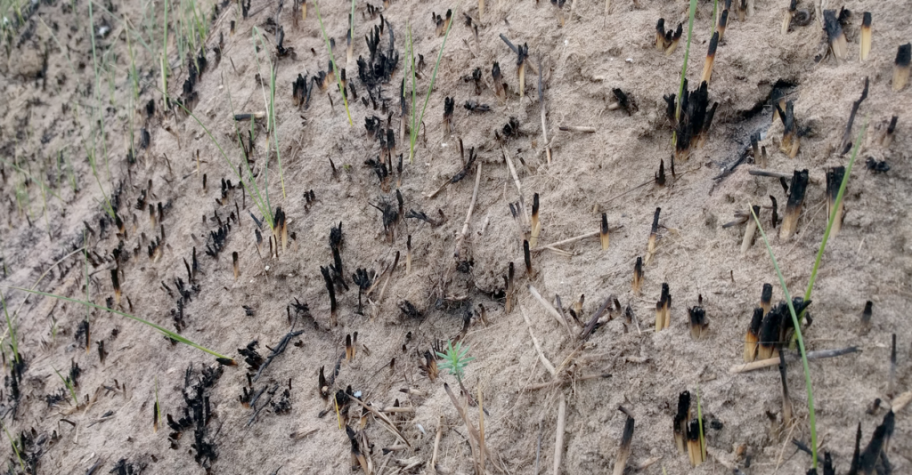
The grass is/was already growing back, which is good to see. The toasted snails however will not be. We’ll be keeping track of how this recovers each time we visit the site.
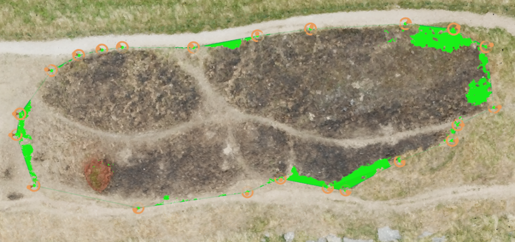
The middle burnt area, two more pronounced areas of burnt ground, totaled 960.91m2 This was struggling to re-grow at the time we saw it.
The southernmost area consisted of two patches, one much smaller than the other, possibly telling a tale of a fire started for ‘fun’, then getting out of control. Read more about Wildfires, what they are, where they are and what you can do about them over on the Forestry Commission pages.
We’ll be back on site next week, and we’ll see what’s changed.
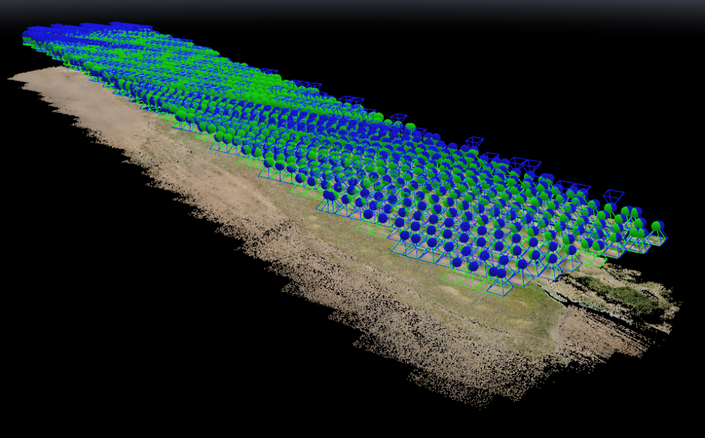
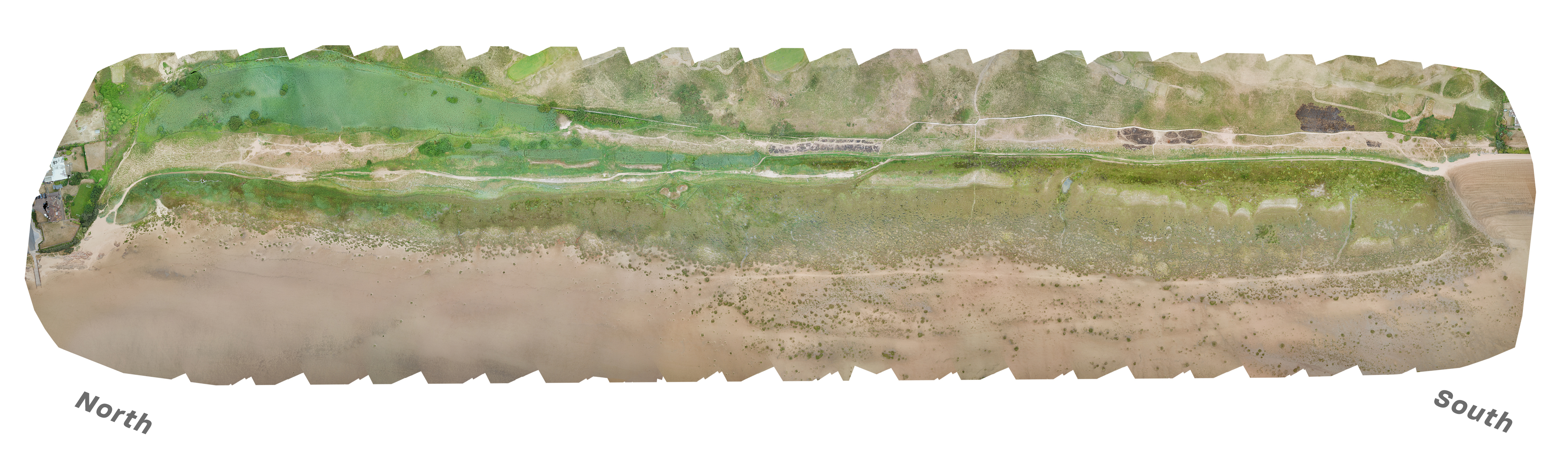
Meanwhile, below is a zoomable, overall site image. Enjoy!
Download a bigger image here to have a look at on desktop.
THIS IMAGE IS 7.5% THE SIZE OF THE ORIGINAL!
If you want more detail, you’ll have to go down to the beach yourself, or wait until the next survey is completed!
We’re not uploading the original, it’s 40metres by 18metres. Too big!
If you are interested in obtaining the data from this flight, or have a similar project you would like to discuss, by all means email us: info@dronefactor.co.uk