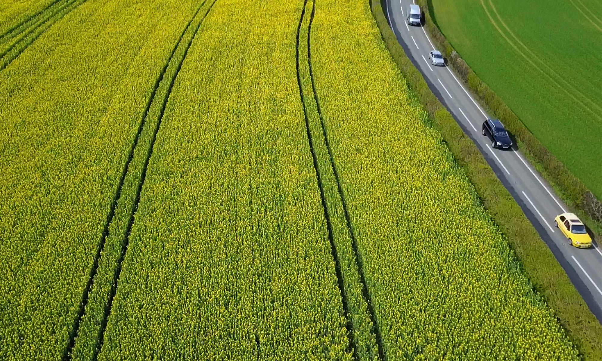

Leading edge scanning techniques generate 3D models of buildings and landscapes, transforming the way planners and architects and land owners approach projects and data analysis.
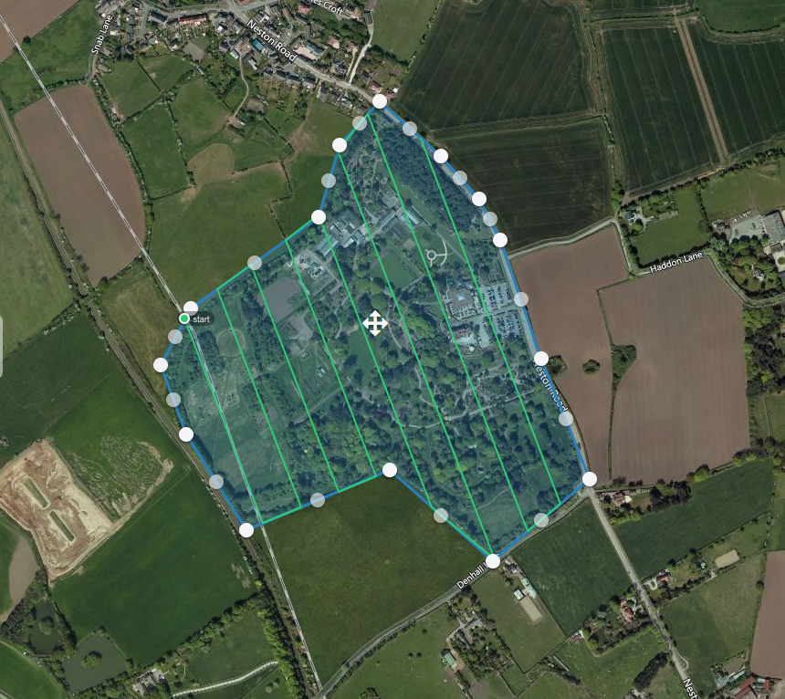 Area Selection for Photogrammetry (Approx 30 acres)
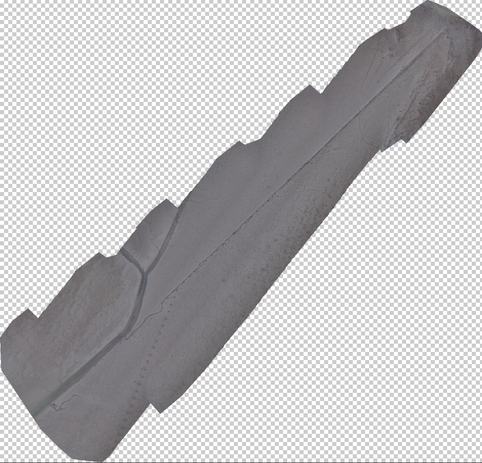 Completed Orthomosaic (Beach Survey) 14.67 acres
Capture altitude: ~40m 228 images Processing: Pix4D
 Zoom level approximately ~40%
Overall accuracy of mission: 1.267cm/pixel
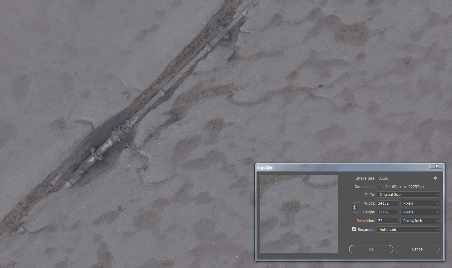 GeoTiff dimensions: 34102 pixels by 32757 pixels.
GeoTiff size ~480mb
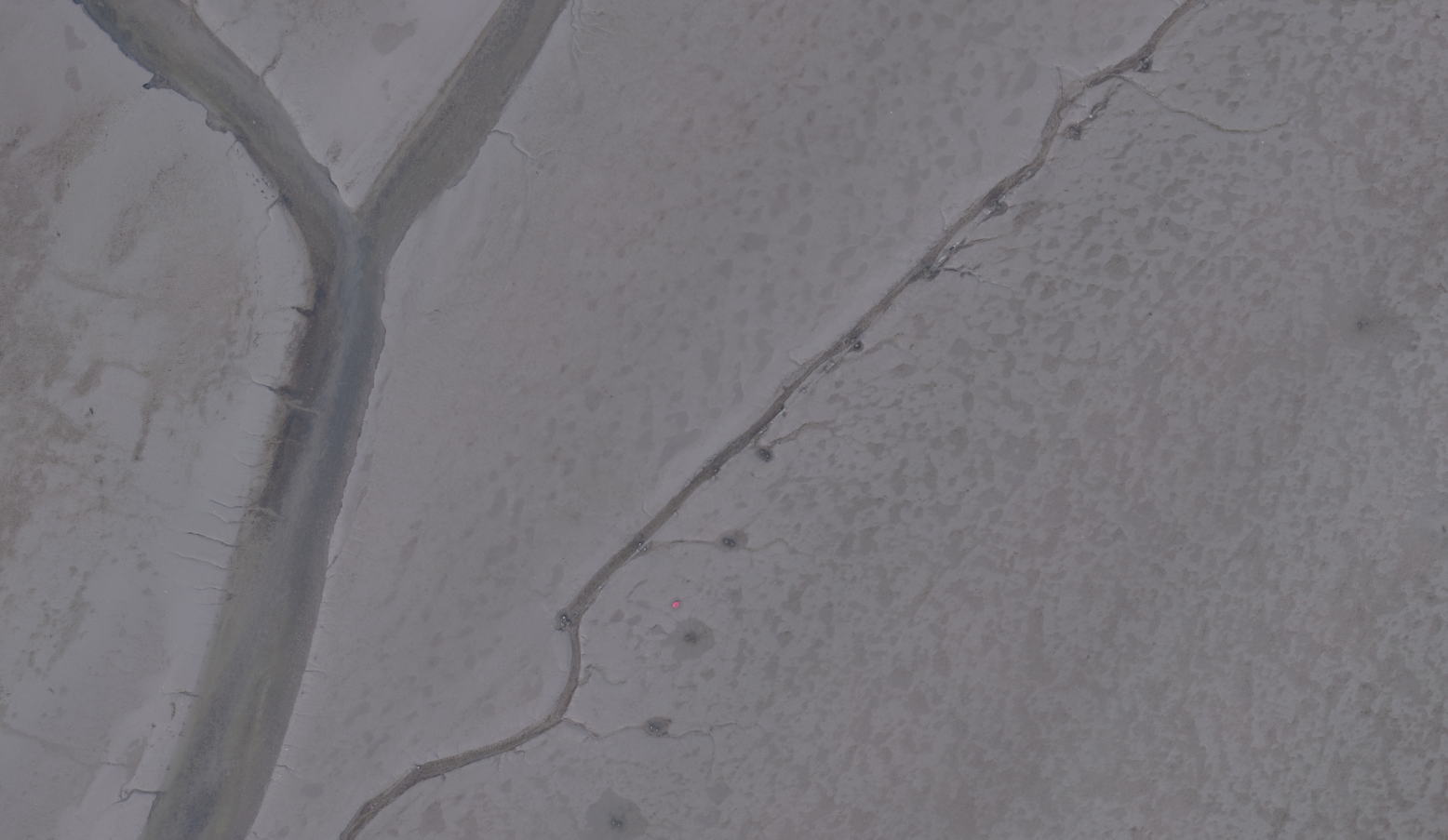
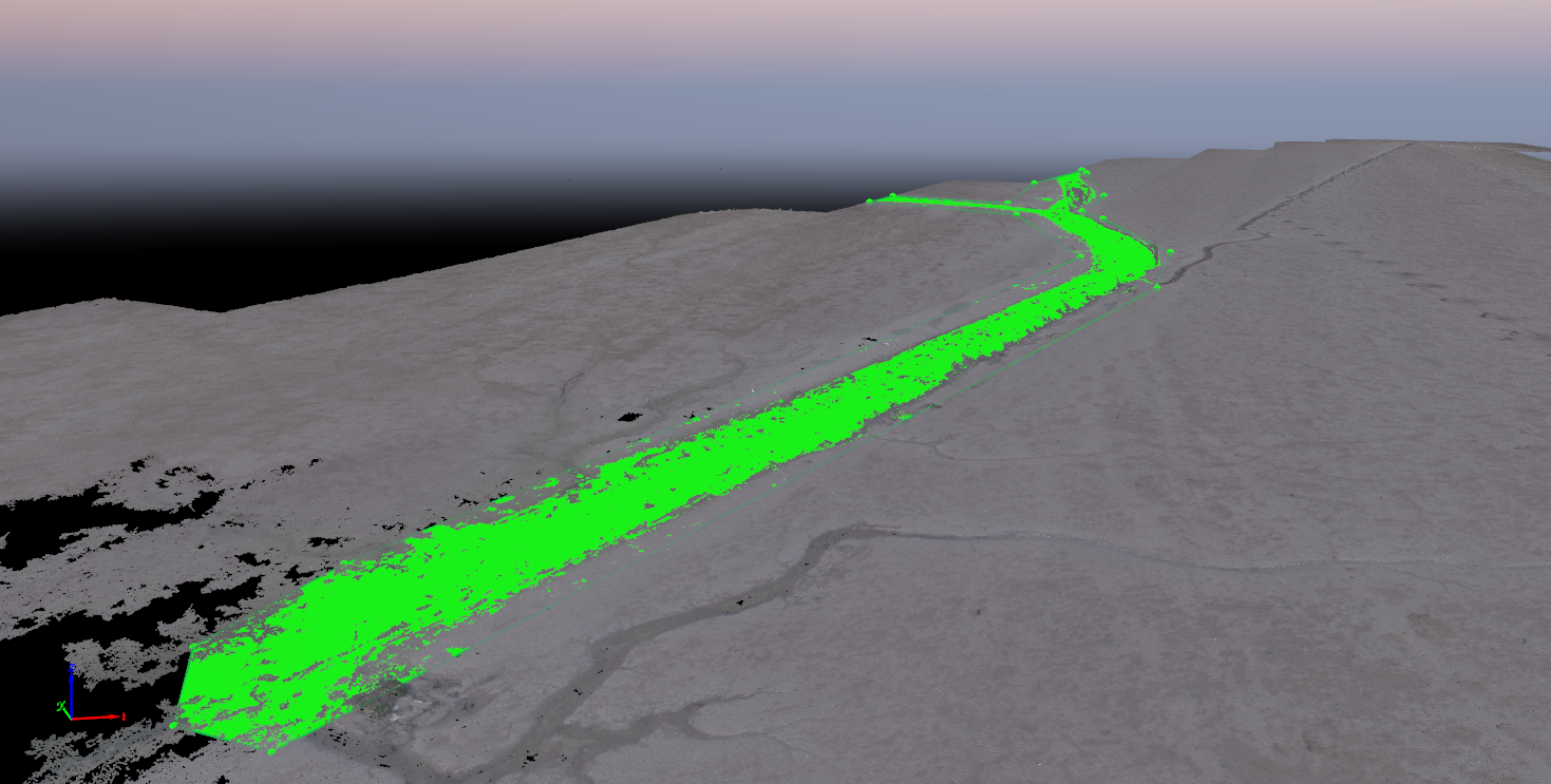 Inverse volume calculation computed via point cloud (marked area)
Overall data weight 3.96GB,
Processing time ~4,5 hours