Sparsholt Futures STEM Event

After a solid few weeks of travel across the UK, Europe and North America, Drone Factor is finally sitting still long enough to get charging batteries for the much anticipated STEM Futures event at Sparsholt College near Winchester, UK. Come and see the freshly built 3D map of the campus and learn how it was made and take away some inspiration!

Your host has a MSc in Drone Tech – learn from years of experience flying, building and pushing drones to their limits. With 1000’s of students from around the country set to arrive, it promises to be a busy day across the board! Come and see how the insides of drones work – maybe even be inspired to build your own using our detailed guide (ask about this on the day, and bring a USB stick!).

We have all kinds of mapping demonstrations ranging from security runs to rollercoaster visuals. Each group gets to vote on the route, so make sure you study the flightpath at the stand first! You can even vote to have some hands on, or build your own flight plan!

UAV Design & Build

We do something that other operators out there don’t do.

We can create specialist use UAV’s, to get that tricky job done. Large or small, fast or slow, high or low in tight spots, we can create the drone you need.

For example, if you need pH values taking from a remote location, and soil samples bringing back, we can create you a drone that will do just that for you. Or perhaps if you need to inspect the inner area of a centimeter wide gap in an inaccessible spot in a warehouse roof, we can help with that.

We’ve taken a moment showcase what’s possible with a new unique design, showcasing our aerodynamics, electronics and engineering knowledge.

The areas we cover:

All of them: We work out power curves, heat generation, power loss, usage, amperage requirements and flight times. We design the air-frame, spec the parts down to the last screw and electrical connection, and then build it all for you. We are not a manufacturer of drones, we simply help you tick the box for your particular job. We will then build and test the system and eliminate any issues before it is put into service.

The video below shows a design we completed earlier this year: testing will take place over this winter in an safe indoor environment.

Each of the following specifications were met for this UAV design:

  • Have a diameter of no more than 350mm (~14inches)
  • Have inherent stability enabling a stationary hover in a GPS denied environment
  • Be no more than 500g (unladen)
  • Have the ability to lift (and hover with) a 500-gram payload
  • Be able to hover with this payload for 5 minutes or more (1kg in air)
  • The design must incorporate propeller guards
  • The air-frame be produced using 3D printing or laser cutting
  • Be strong enough to provide a reasonable service life
  • Be replicable for under £100, including air-frame (re)production, not including sensors (cameras, etc)
  • Use readily available stock (off the shelf) components from one UK supplier
  • Components must be ordered in one shipment from one supplier

We have extensive documentation for this design,
as we do for all things we create.

We currently are working on a range of projects, and are looking for use cases to fulfill in the new year (2019). If you have an application you need fulfilling that you feel might require something out of the ordinary, get in touch via our contact page and we’ll start the conversation.

UAV Glossary

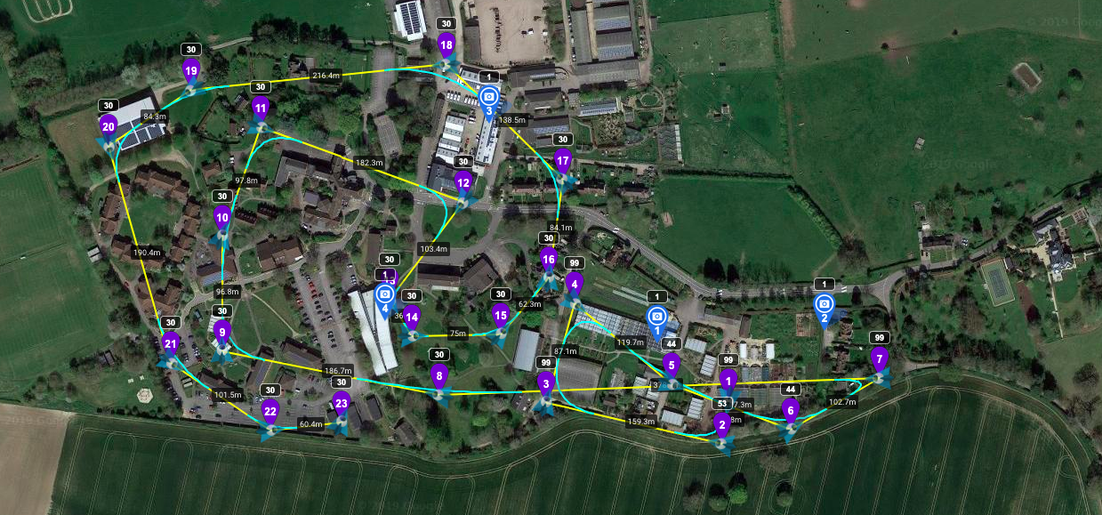
This list is dynamic, so check back or contact us is you think there’s something missing!


AAIB    Air Accident Investigation Branch

Airprox             Aircraft having unplanned close proximity in the air

AN       Anchor Nodes

AOA    Angle of Arrival

AP        Access Point

Aplanatic lens A lens that has been corrected for spherical and chromatic aberrations (also relevant is Apochromatic lenses, corrected for Red Green Blue).

BMFA   British Model Flyers Association

BVLOS Beyond Visual Line of Sight

CAA    Civil Aviation Authority (UK)

CAD  Computer aided design. A general term for computer programs such as DS Solidworks, AutoCad, 3DSMax, blender, etc.

CAP     Civil Aviation Publication

CSAIL  Computer Science and Artificial Intelligence Laboratory

Diffraction        The effect a surface has on a light source

DF        Drone Factor Ltd

DJI       Dà-Jiāng Innovations

Reproduction and Copy-paste of this list is prohibited.

DSM     Digital surface model

EASA   European Aviation Safety Agency

EKF      Extended Kalman Filtering

FAA     Federal Aviation Administration

GLONASS        Global Orbiting Navigation Satellite System

GNSS   Global Navigation Satellite System (Galileo)

GPS      Global Positioning System

IPP       Integration Pilot Program

IPS       Indoor Positioning System

IR         Infra-Red (light)

KF        Kalman Filter

Lipo      Lithium Ion Polymer Battery

LOS      Line of Sight

MERSAR          Merseyside Search and Rescue

NARI   Next Era of Aviation

NASA  National Aeronautics and Space Administration

NLOS   Non-Line of Sight

NN      Nearest Neighbour

Reproduction and Copy-paste of this list is prohibited.

OM      Optical Metrology. Measurements made through optical sensors.

OSC     Operational Safety Case

PfCO   Permission to Fly Commercial Operations

PIC      Pilot (or Person) In Command

Refraction        Bending of light by a medium (eg water, glass)

RGBD  Red/Green/Blue + Depth

RGB     Red/Green/Blue (light detection)

RTH Return to Home

RSS      Received Signal Strength (also known as RSS, depending on system)

RSSI     Received Signal Strength Indication/Indicator

Rx        Receiver (radio link)

SfM      Structure from Motion is a photogrammetric range imaging technique for estimating three-dimensional structures from two-dimensional image sequences that may be coupled with local motion signals (Shapiro 2001)

SLAM   Simultaneous localization and mapping (of objects/points in an image).

Reproduction and Copy-paste of this list is prohibited.

Specular Gloss              Relative reflectivity of a surface or object.

SUA     Small Unmanned Aircraft

TDOA  Time Difference of Arrival

TN       Target Node

TOA    Time of Arrival

Tomography/tomographic scans            In this context, tomographic scans are essentially instances of a scan repeated over time, so one can see any movement or changes in the scene.

UAS     Unmanned Aerial System

UAV     Unmanned Aerial Vehicle

UK       United Kingdom

USD     United States Dollars

UTM    Unified Traffic Management

UWB   Ultra-wide Band

VLOS   Visual Line of Sight

WRCFS            Wirral Remote Control Flyers Society

XY       measurements made in 2 dimensions only: X axis (horizontal), Y axis (vertical)

XYZ     measurements made in 3 dimensions: X axis (horizontal), Y axis (vertical) and Z axis (depth)

Reproduction and Copy-paste of this list is prohibited.

Drones in Bits Introduction

Our resident DSR researcher Sam Barnes has put together a guide on the components inside your drone. He is building the next generation of drones and currently studying a Masters in Drone Technology and Applications at Liverpool John Moore’s University, and is aiming to do a PhD that will further develop the future of drone tech for the UK industry.

***

Do you know your FCs from your ESCs? This introductory guide will help explain the RTH from the RTB, the Rx from the Tx, the CCW from the CW and the Aero from the Eebee.

Disclaimer: this is an overview! This is a semi-generic guide that is aimed at enlightening those who would like to know more about how drones work.

How to begin explaining something so complex? Well, it’s actually relatively straightforward to construct a drone from component parts: drone racers and hobbyists have been doing this for a long time. The majority of the technology – motors, servos and the ways in which they are controlled are all taken more or less directly from the remote controlled model world.

The Flight Controller

The RC world did not use flight controllers as we know them today… the flight controller is the central hub of the system, processing the balance, the motion, motor speeds, aircraft movement (Inertia Measurement Units), GPS/GLONASS positions, altitude, attitude (angle relative to the earth) and any waypoint data. All in all, it’s quite a busy little box, and that’s just the start!

Many flight controllers have multiple IMUs, interia measurement units. The IMU is essentially a sensor that detects movement, or changes in movement, so the drone can calculate it’s inclination (angle relative to the ground/earth) and it’s azimuth (bearing, relative to the compass or magnetic north). These two pieces of information are critical to the steady and ‘flat’ flight we are used to. If anything is out of kilter, or if these sensors are calibrated incorrectly or not calibrated to their environment) the drone will do odd things, and quite likely crash. The addition of a GPS unit and compass (commonly incorporated into the same device) adds an additional layer of protection, but another layer of information to deal with.

If you haven’t heard of the research group ETH Zurich, spend a moment looking up their creations. This team created a code, or protocol, called MavLink. This powerful coding system for flight controllers is what powers a lot of our drone systems, and looks to be the benchmark and the go-to for building custom systems.

Next episode: The Sensors

Flight Controllers – An Overview

Do you know your FCs from your ESCs? This introductory guide will help explain the RTH from the RTB, the Rx from the Tx, the CCW from the CW and the Aero from the Eebee.

Check out this ever expanding glossary!

Disclaimer: this is an overview! This is a semi-generic guide that is aimed at enlightening those who would like to know more about how drones work. This guide is not a Masters in Drone tech in a few pages, but you will learn a lot!

How to begin explaining something so complex?

Well, it’s actually relatively straightforward to construct a drone from component parts: drone racers and hobbyists have been doing this for a long time. The majority of the technology – motors, servos and the ways in which they are controlled are all taken more or less directly from the remote controlled model world.

The Flight Controller

The RC world did not use flight controllers as we know them today… the flight controller is the central hub of the system, processing the balance, the motion, motor speeds, aircraft movement (Inertia Measurement Units), GPS/GLONASS positions, altitude, attitude (angle relative to the earth) and any waypoint data. All in all, it’s quite a busy little box, and that’s just the start!

Many flight controllers have multiple IMUs, interia measurement units. The IMU is essentially a sensor that detects movement, or changes in movement, so the drone can calculate it’s inclination (angle relative to the ground/earth) and it’s azimuth (bearing, relative to the compass or magnetic north). These two pieces of information are critical to the steady and ‘flat’ flight we are used to. If anything is out of kilter, or if these sensors are calibrated incorrectly or not calibrated to their environment) the drone will do odd things, and quite likely crash. The addition of a GPS unit and compass (commonly incorporated into the same device) adds an additional layer of protection, but another layer of information to deal with.

If you haven’t heard of the research group ETH Zurich, spend a moment looking up their creations. This team created a code, or protocol, called MavLink. This powerful coding system for flight controllers is what powers a lot of our drone systems, and looks to be the benchmark and the go-to for building custom systems.

Next episode: The Sensors

Our resident researcher Sam Barnes has put together this short introductory guide about the components inside drones. Sam is building the next generation of drones whilst studying a Masters in Drone Technology and Applications at Liverpool John Moore’s University, whilst also aiming to do a PhD that will further develop the future of drone tech for the worldwide industry.

Contact him via email to find out more about this research.

UAV Sensor Systems

Simply put, Accelerometers, gyros and compasses all contribute to the flight controllers <<~~>> spatial information, such as movements like drift, dropping and ascending. They work in unison to guide and control the flight of the drone, and are the key sensors in the fight against gravity.

Accelerometers work by measuring the rate of change of movement. Take for example an accelerometer sitting on a flat, stationary surface. This sensor would read zero, because it’s not moving. If you then move this sensor, it will return a value (according to the plane it is oriented to), telling you it is moving. What’s interesting though is that if you put this sensor on something that is moving at a constant speed, it will return a zero, since the sensor isn’t detecting a *change* in movement, or acceleration. Strange huh?

Don’t forget the acronym page!

Now imagine two sensors, facing away from one another, but in the same alignment. If you move them away from you, one will read a positive value, and the other a negative value. If these values match (in equal measure, cancel out) then you know you’re sensors are nicely calibrated. Pairing Accelerometers like this can increase accuracy of measurements, whilst also (to a certain extent) allow redundancy in the system. Pairing Accelerator sensors in different planes (X, Y and Z) provides information about movement in any direction. Additional sensors can be added in 45degree angles around these core planes, but they are somewhat unnecessary if the initial 6 are calibrated correctly, as any angle can be measured from them without the need for any more.

Gyroscopes also measure angles, but not through movement, but rather through straightforward angle measurement.

Our resident researcher Sam Barnes has put together this short introductory guide about the components inside drones. Sam is building the next generation of drones whilst studying a Masters in Drone Technology and Applications at Liverpool John Moore’s University, whilst also aiming to do a PhD that will further develop the future of drone tech for the worldwide industry.

Contact him via email to find out more about this research.