Night Operations

Drone Factor Ltd is now licenced to carry out commercial night operations – we have a number of methods to capture amazing aerial video and still shots whilst operating in darkness…

If you have an event on that runs until after dark, an epic firework display, mega bonfire or an overnight race challenge… get in touch!

For image licencing please email info@dronefactor.co.uk
[we do have some video clips in 4K too]

Mouse over the image to zoom in!

Mouse over the image to zoom in!

Wilson Trophy Day 1

A wonderful first day of racing at WKSC

Each year since the 1940s West Kirby Marine Lake has been home to the world leading Wilson Trophy: When the event started, team racing rules were not well defined and so special rules were drafted which form the basis of the rules which now govern dinghy team racing events all round the world.

This year we are being treated to 32 teams from the USA, Ireland and across the UK – Drone Factor wish everyone the best of luck! Continue reading “Wilson Trophy Day 1”

Your videos can now be used as evidence against you!

Drone Safe Register Blog: YouTubers beware, your videos can now be used as evidence.

If you know a Drone pilot, please forward this article to them. It might save them a court case, fines or bans from flying.

To those who don’t check pilot credentials: You are putting your business and your reputation at risk, because you are also liable for facilitating illegal activities.

Read the 1 minute guide on how to tell if your pilot is legal. All DSR pilots are legal and insured, and you can be assured that when you hire one for your project, things will be done properly, safely, legally, and will be able to provide all of the documentation.

Ask yourself: would you get in a car that has ‘taxi’ scrawled on a piece of paper, taped to the passenger window, or would you prefer a licensed cab with a driver who has proper insurance? Would you feel safe or would you be concerned that in the event of an accident you would not be compensated?

Pilots being paid for work without CAA permissions: Your time is up.

Stop while you have the chance, or get a license and do things lawfully.
Your previous videos can still be used as evidence against you, you should consider removing them.

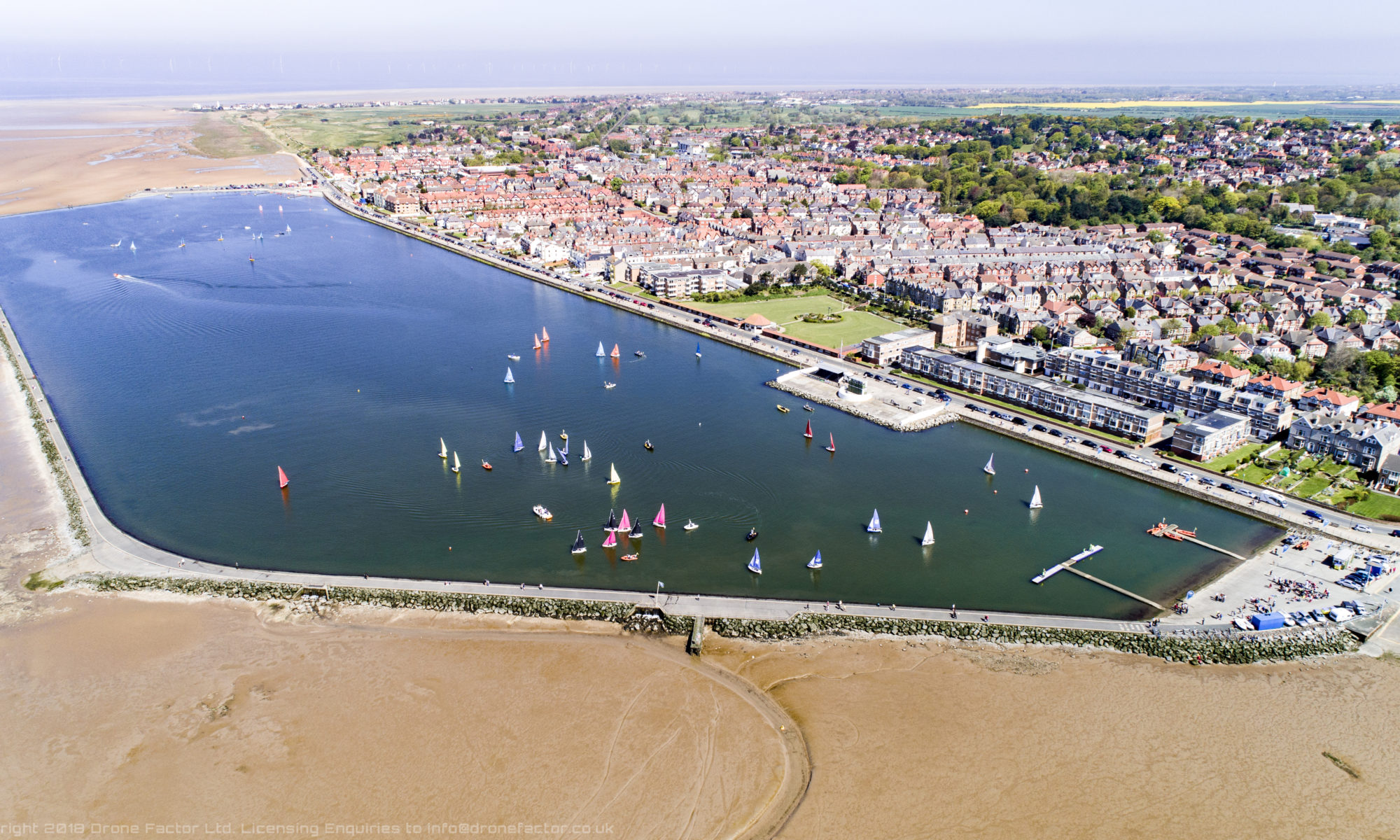
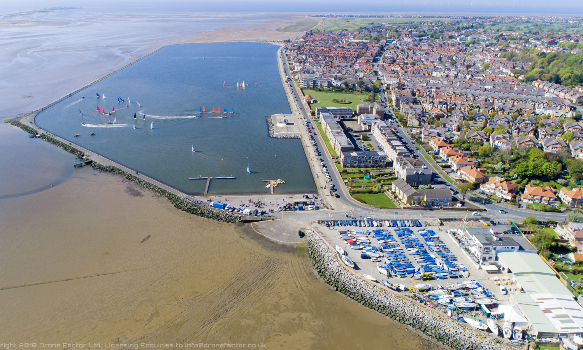
Starting this summer, the CPS will begin actively looking and accepting evidence of illegal flights (over towns, beyond 500m range for example). These videos will be used as evidence against users. There are also a number of UK businesses based around locating and prosecuting illegal pilots, with the bill being footed by the illegal operator.

A significant effort will be put into tracking down these illegal operators, and they will be perused and prosecuted to the full extent of the law.

The wind is changing, illegal operators, and you would be well advised to stop carrying out flights that are:

  • For valuable consideration
  • In or over protected areas
  • Near Sites of Special Scientific Interest (SSSI’s)
  • At distances greater than 500m or over 120m (the legal limits)
  • Breaking local bylaws
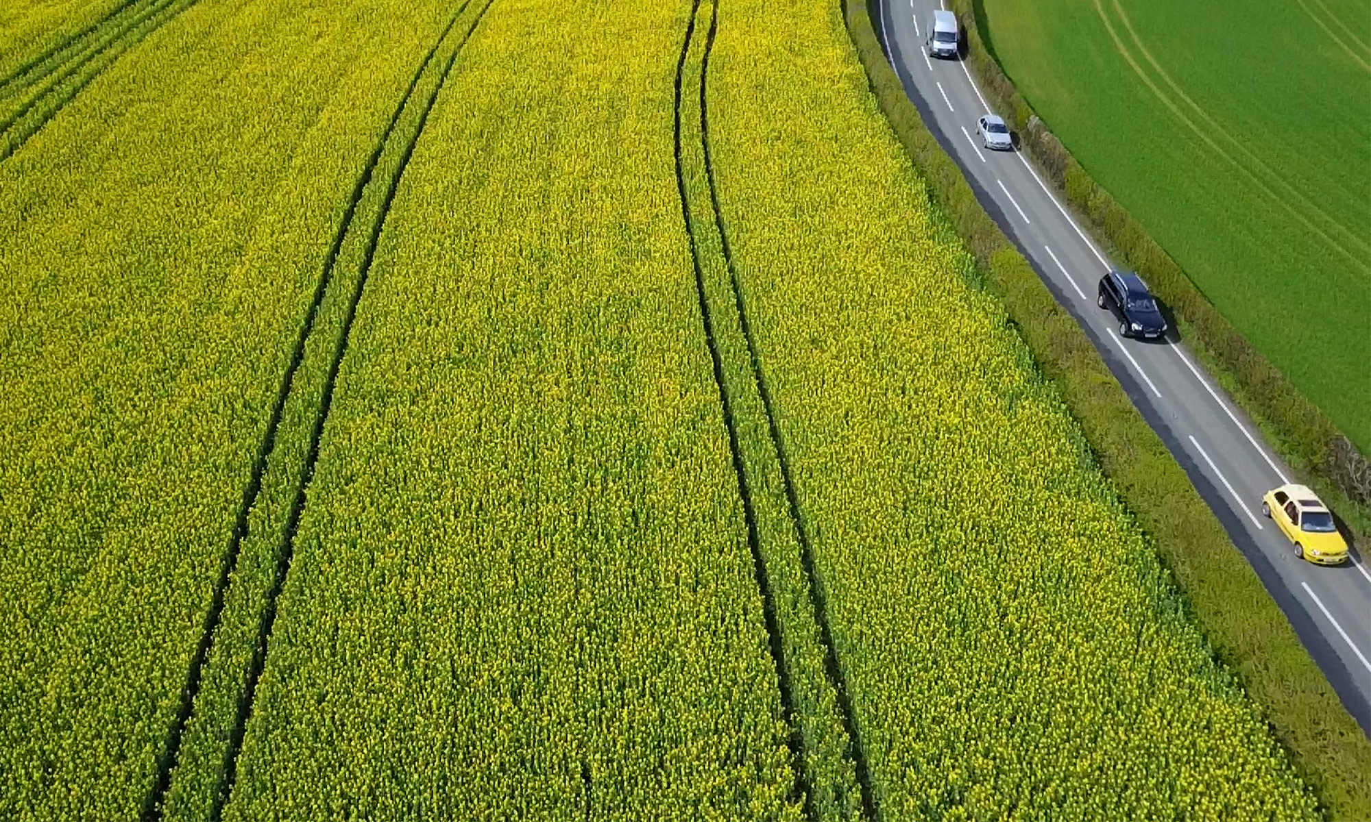
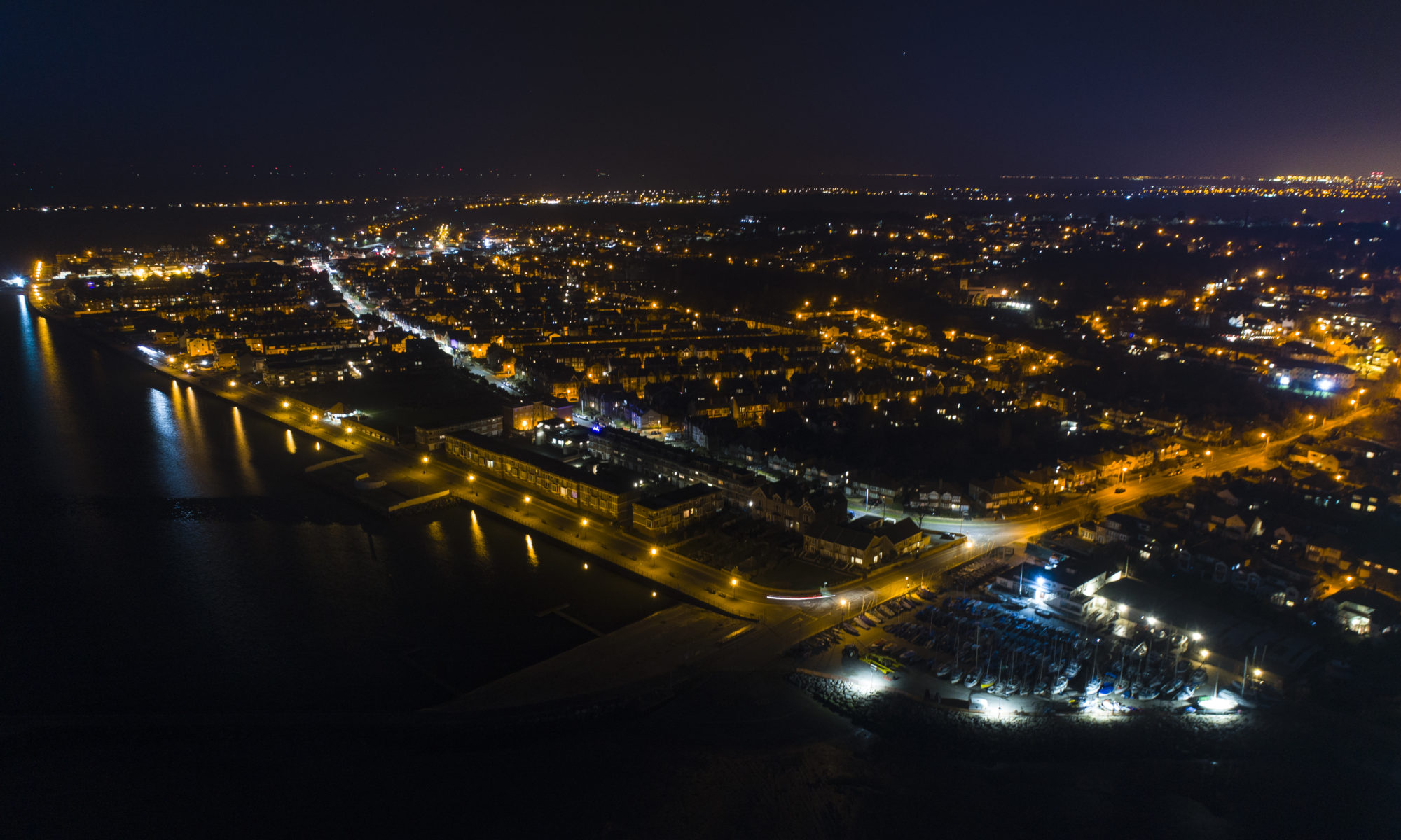
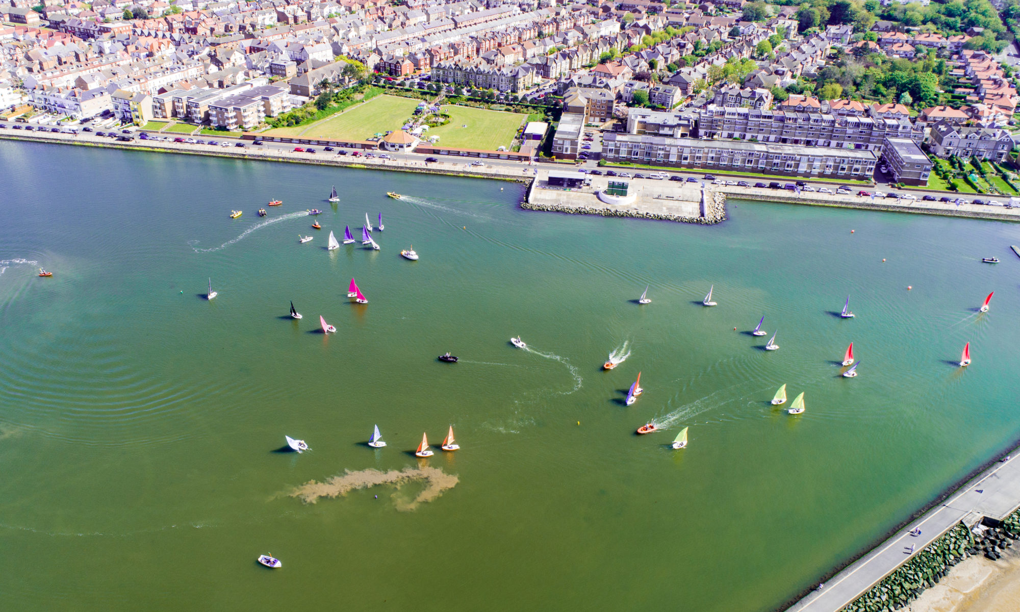
  • Over towns, congested areas, or near people or property who haven’t consented to the activities

Put simply, all operators who ‘just do it’ have no regard for others personal safety, the law, bylaws or protection orders that are in place for good reason.

They are unprofessional, often become aggressive when challenged about their activities, and more importantly, are never as good as the real thing – Drone Safe Register pilots are at the top of their game, they know the industry, the technology and most importantly, the rules that keep people safe.

If you fly your drone for ‘beer money’, consider selling it and using that money for something more productive that is within the law.

Illegal pilots; you know who you are, and be assured, your time is up.

To those wanting to use Drone services, you are advised to best to bookmark the DSR instant quote now, and not wasting time with sub standard pilots.

Flight Controllers – An Overview

Do you know your FCs from your ESCs? This introductory guide will help explain the RTH from the RTB, the Rx from the Tx, the CCW from the CW and the Aero from the Eebee.

Check out this ever expanding glossary!

Disclaimer: this is an overview! This is a semi-generic guide that is aimed at enlightening those who would like to know more about how drones work. This guide is not a Masters in Drone tech in a few pages, but you will learn a lot!

How to begin explaining something so complex?

Well, it’s actually relatively straightforward to construct a drone from component parts: drone racers and hobbyists have been doing this for a long time. The majority of the technology – motors, servos and the ways in which they are controlled are all taken more or less directly from the remote controlled model world.

The Flight Controller

The RC world did not use flight controllers as we know them today… the flight controller is the central hub of the system, processing the balance, the motion, motor speeds, aircraft movement (Inertia Measurement Units), GPS/GLONASS positions, altitude, attitude (angle relative to the earth) and any waypoint data. All in all, it’s quite a busy little box, and that’s just the start!

Many flight controllers have multiple IMUs, interia measurement units. The IMU is essentially a sensor that detects movement, or changes in movement, so the drone can calculate it’s inclination (angle relative to the ground/earth) and it’s azimuth (bearing, relative to the compass or magnetic north). These two pieces of information are critical to the steady and ‘flat’ flight we are used to. If anything is out of kilter, or if these sensors are calibrated incorrectly or not calibrated to their environment) the drone will do odd things, and quite likely crash. The addition of a GPS unit and compass (commonly incorporated into the same device) adds an additional layer of protection, but another layer of information to deal with.

If you haven’t heard of the research group ETH Zurich, spend a moment looking up their creations. This team created a code, or protocol, called MavLink. This powerful coding system for flight controllers is what powers a lot of our drone systems, and looks to be the benchmark and the go-to for building custom systems.

Next episode: The Sensors

Our resident researcher Sam Barnes has put together this short introductory guide about the components inside drones. Sam is building the next generation of drones whilst studying a Masters in Drone Technology and Applications at Liverpool John Moore’s University, whilst also aiming to do a PhD that will further develop the future of drone tech for the worldwide industry.

Contact him via email to find out more about this research.

UAV Sensor Systems

Simply put, Accelerometers, gyros and compasses all contribute to the flight controllers <<~~>> spatial information, such as movements like drift, dropping and ascending. They work in unison to guide and control the flight of the drone, and are the key sensors in the fight against gravity.

Accelerometers work by measuring the rate of change of movement. Take for example an accelerometer sitting on a flat, stationary surface. This sensor would read zero, because it’s not moving. If you then move this sensor, it will return a value (according to the plane it is oriented to), telling you it is moving. What’s interesting though is that if you put this sensor on something that is moving at a constant speed, it will return a zero, since the sensor isn’t detecting a *change* in movement, or acceleration. Strange huh?

Don’t forget the acronym page!

Now imagine two sensors, facing away from one another, but in the same alignment. If you move them away from you, one will read a positive value, and the other a negative value. If these values match (in equal measure, cancel out) then you know you’re sensors are nicely calibrated. Pairing Accelerometers like this can increase accuracy of measurements, whilst also (to a certain extent) allow redundancy in the system. Pairing Accelerator sensors in different planes (X, Y and Z) provides information about movement in any direction. Additional sensors can be added in 45degree angles around these core planes, but they are somewhat unnecessary if the initial 6 are calibrated correctly, as any angle can be measured from them without the need for any more.

Gyroscopes also measure angles, but not through movement, but rather through straightforward angle measurement.

Our resident researcher Sam Barnes has put together this short introductory guide about the components inside drones. Sam is building the next generation of drones whilst studying a Masters in Drone Technology and Applications at Liverpool John Moore’s University, whilst also aiming to do a PhD that will further develop the future of drone tech for the worldwide industry.

Contact him via email to find out more about this research.

DSR Pilots know what they are doing

The UK drone industry is still regarded as being in it’s early days, however Drone Safe Register (and it’s industry leading network of professional drone pilots) is at the leading edge of legislation and law interpretation. Members converse regularly on these topics as a sound understanding is paramount in their businesses.

Something worth keeping in mind is that the CAA have a safety first approach for all operations, be it drones, gilders or 747s landing at Heathrow. Obviously, this is a good thing. It helps to ensure operations involving drones in the UK are safe and controlled.

DSR pilots will always carry out the due diligence and preflight checks to ensure a legal flight.

DSR prides itself in ensuring compliance with the law – this is something that outside of the DSR sphere that cannot be guaranteed in the same way. The writer of this article, who holds a PfCO is aware of a number of drone operators with permissions in his local area that still manage to break the law. Having a license doesn’t mean the operator can do what he or she wants – it just means they know what the rules are and have permission to fly for valuable consideration.

There are often instances when it is necessary to contact authorities to organise flights. For example local councils, police, park rangers might be informed or asked permission to fly. Landowners however do not need notification to enable a flight over their land, so long as the drone that is flying is kept more than 50m away from buildings, the land itself and of course people on that land.

There is no reason to pay anyone anything to obtain overflight permissions, unless there is a bylaw that specifically states there are fees.

Sometimes notice is needed, often 28 days prior to the flight.

locations that should be notified of drone overflight:
  • Nuclear sites/installations/plants – if a flight needs to be undertaken within 3.2km (2 miles) of a nuclear power site, the CAA will be able to help organise this. There are some specific restrictions involved with flights in these areas.
  • Airfelds and airports. Generally best avoided anyway.
  • Sites of Special Scientific Interest (SSSI’s) – Natural England are responsible for maintaining these sites, with duties and responsibilities being delegated to local authorities.
  • Protected Areas – marine reserves and bird sanctuaries – it is almost certainly a necessity to contact them ahead of flights to ensure you are not unnecessarily disturbing wildlife.
    Distances from sites you would want to notify
    Red Circle: 2 miles around Capenhurst Nuclear Site.
    Blue Circle: 1 mile around RSPB at Burton on the Dee Estuary.

    Wedding Venues marked above (green dots) are particularly at risk  of inadvertently breaking the rules.

    Five venues are well within the distances that would require notification. Permission may be granted by the venue for take off and landing, however they are still within the distances that mean prior consent to fly in the airspace is needed.

Drone Safe Register Pilots are responsible for their flights, and they need to protect their business and reputation, providing clients the best service and ultimately the legal backing that is necessary to sleep at night.

To help put this in context: Take for example a standard 50m separation requirement, then think vertically… there are various safety considerations that will stop an operation, but in principle the landowner below a drone at 50m altitude does not need to give consent for the overflight.

There are increasing numbers of reports of less accommodating organizations that feel that it is their place to re-write the rules on behalf of the CAA. What they are trying to do is not actually enforceable, nor ethical, as PfCO pilots are allowed to fly in locations (such as over the Thames in London) so long as they maintain the 50m separations, and have permission for take off and landing at a location that allows flight within the 500m range allowed. There are numerous references regarding this in CAP722 and CAP393 for further clarification.