Aerial footage of your land will help you maximize yields and minimize costs.
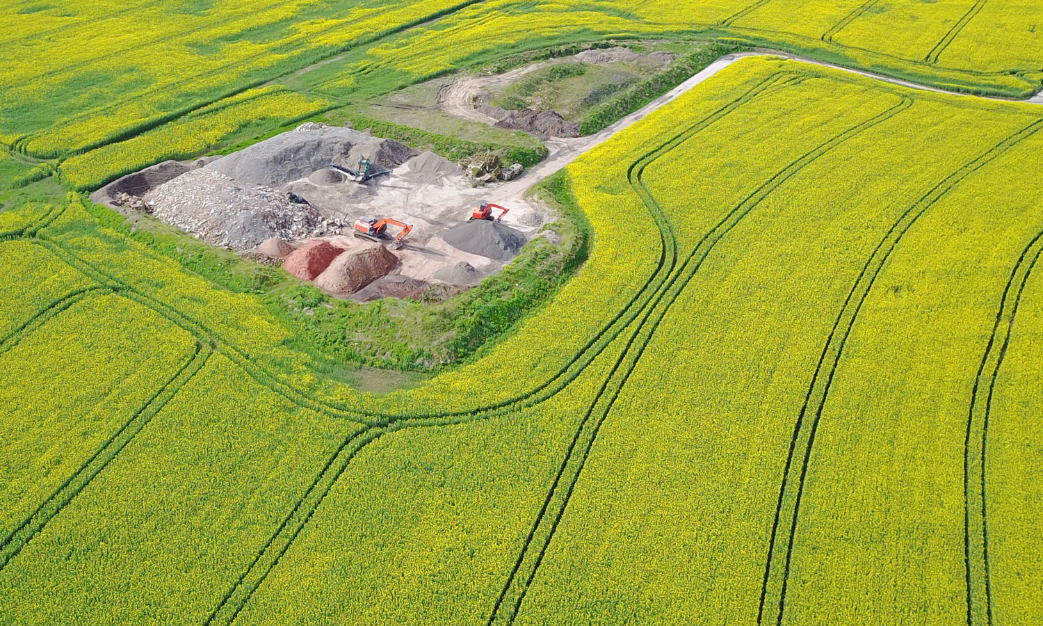
We use specialist software and brand new technology to map and analyse your crops, identifying what and where attention is needed.

Making Aerial Attainable
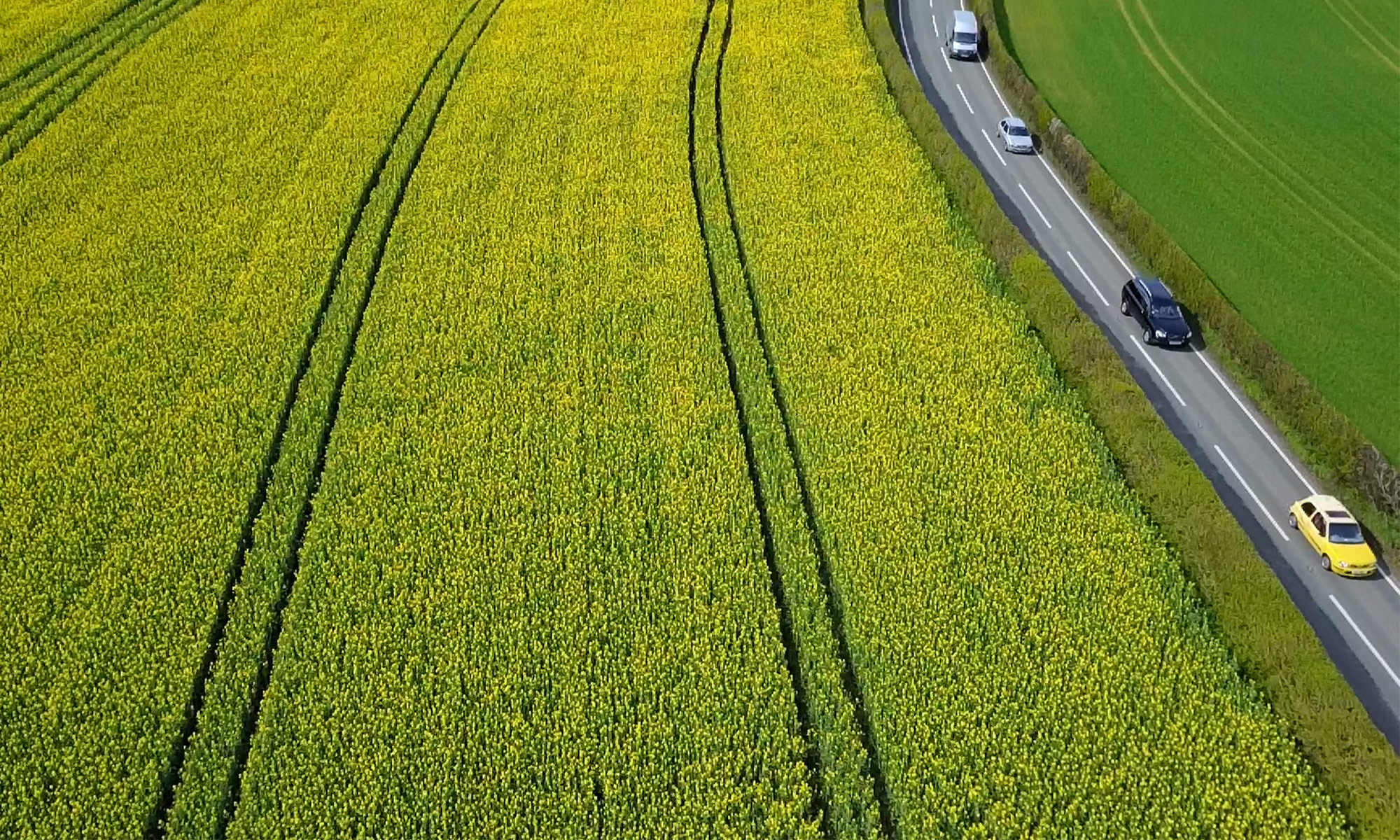
Aerial footage of your land will help you maximize yields and minimize costs.
We use specialist software and brand new technology to map and analyse your crops, identifying what and where attention is needed.